
What's at stake?
Tobago’s most extensive coral, seagrass and mangrove complex, a nursery ground and biodiversity hotspot protected since 1973, where a sheltered lagoon grades from mangrove fringe to fringing reef. It holds the island’s largest turtle grass meadow (124 hectares) and one of its largest boulder star coral colonies, but the 2024 mass bleaching killed many lagoon corals and staghorn coral is feared locally extinct in Tobago. Decades of monitoring here have centred on the seabed, leaving the fish, mobile and microbial communities that move between inshore and offshore waters largely unseen.
Communities involved
Workshops and sampling engage the Buccoo and Bon Accord communities, marine park users, fisherfolk, NGOs and secondary school students, coordinated through the Institute of Marine Affairs and its Marine Resilience Network of more than 300 members. The Tobago House of Assembly and the Division of Environment, Climate Resilience and Energy are partners, with glass-bottom boats used to bring participants to the lagoon for water collection and eDNA demonstrations.
Science plan summary
Main scientific question: Which cryptic or transient species do current methods miss, how do mobile and microbial communities differ among habitats and seasons, and can eDNA give early warning of introduced species?
Localities sampled (4): Inner lagoon (mangrove), outer lagoon (seagrass), coral forereef, and an offshore site 1.5 km north outside the park
Why there: One per habitat along the inshore-to-offshore gradient; the offshore site is the most likely to pick up transient and pelagic species
Sampling dates: Five rounds: Nov–Dec 2026, Jan–Mar 2027, Apr–Jun 2027, Jul–Sep 2027, Oct–Dec 2027
Why then: The dry season (Jan–May) and wet season (Jun–Dec) differ in rainfall, runoff and temperature. Coral spawning, reproduction and recruitment peak in the wet season, when new recruits and transient species may arrive from nearby reefs, and the dry season may bring different seasonal migrants.
See the live results
Visualize the live results from sampling events at this site on our data portal.
About our site
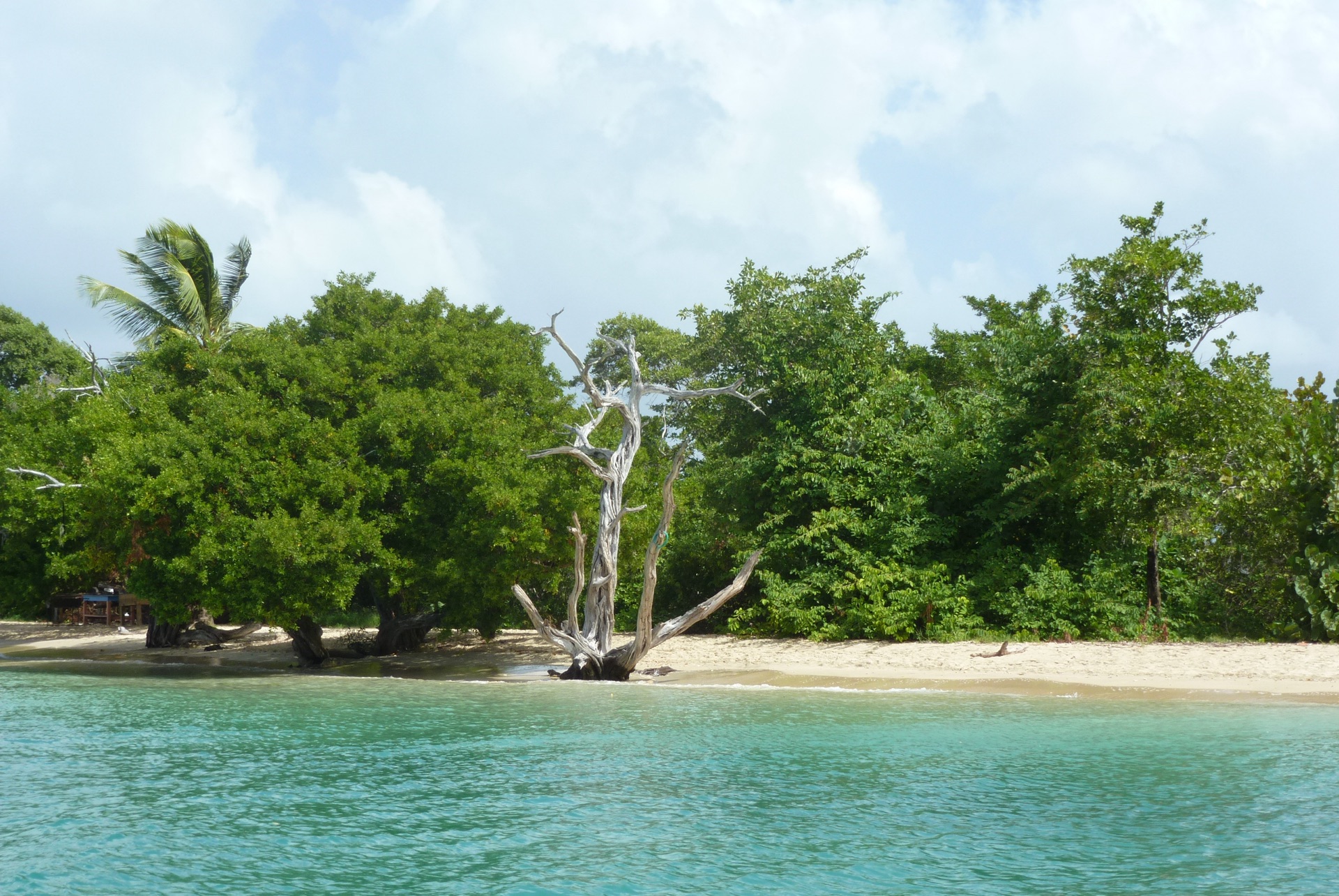
Buccoo Reef Marine Park sits on the south-western shoulder of Tobago, in the Southern Caribbean where the Caribbean Sea meets the Atlantic. Seasonally fed by the Orinoco outflow and the Guiana Current, these mixing waters give Trinidad and Tobago a rich and distinctive marine life, and make Buccoo Reef the country’s most extensive coral, seagrass and mangrove complex.
The park holds three connected habitats. A red mangrove fringe, roughly 0.9 square kilometres, lines the landward edge. A well-flushed lagoon, around two metres deep, holds the largest surviving turtle grass meadow in Tobago, some 124 hectares, a nursery for grunts, snappers and lobsters. Patch reefs in the outer lagoon include Coral Gardens, home to one of the island’s largest boulder star coral colonies and a mainstay of glass-bottom-boat tourism, alongside rarer elkhorn and staghorn corals.
The reef is under pressure. The 2024 mass bleaching killed many lagoon colonies, and staghorn coral may now be locally extinct in Tobago. Although protected, the park carries heavy tourism and some recreational fishing, and faces land-based pollution and coastal squeeze as development presses against its edge.
“Buccoo Reef holds our most extensive coral, seagrass and mangrove complex, and it is our only protected marine area. Environmental DNA will complement decades of our monitoring, revealing the micro and mobile communities we have not been able to see, and strengthening the case for protecting this reef.”
What we plan to achieve
A fuller picture of the life inside the park, reaching the cryptic, transient and microbial communities that visual surveys and seabed monitoring miss, from gobies and blennies to the micro-organisms that signal environmental pressure.
A reading of how biodiversity shifts from inshore to offshore and from season to season, and early indications of connectivity across the reef system, tracked against rainfall, temperature and tidal conditions.
Early detection of invasive or introduced species, fitting for a site that sits at the nexus between the Caribbean and South America.
Evidence that complements the Institute’s long-term monitoring and feeds directly into management of the park, strengthening the case for protection and deepening community ownership of a reef central to Tobago’s livelihoods and recreation.