
About our site
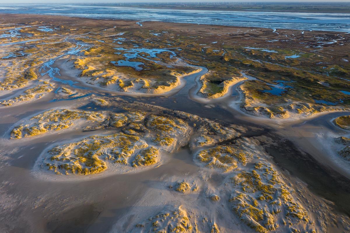
The Wadden Sea World Heritage is the largest tidal flat system in the world, where natural processes proceed largely undisturbed. It encompasses almost the entire Wadden Sea in Denmark, Germany and the Netherlands: an area of nearly 11,500 square kilometres along a coastal strip of about 500 kilometres.
The Wadden Sea is a place where ebb and flow, sea and wind shape the coastline. It has islands, tidal flats, salt marshes and dunes for thousands of species of plants and animals. The site’s global significance also lies in supporting millions of migratory birds, with up to 10–12 million passing through annually.
What we plan to achieve
Through eDNA expeditions, we aim to strengthen monitoring and management of fish communities in the Wadden Sea by addressing key gaps in species detection, distribution, and responses to climate change. Specifically, we seek to detect and map the presence of red-listed fish species, including houting, river and sea lamprey, sea trout, European eel, twaite shad, lesser spotted dogfish, thornback ray, and other shark and ray species, while improving the identification of elusive species that are often missed by conventional monitoring. By aligning sampling with seasonal life cycles, such as differing spawning periods, we aim to increase detection accuracy for hard-to-monitor species.
In the face of climate change, we also aim to enhance understanding of shifts in fish community composition, using eDNA to complement and overcome limitations of traditional monitoring techniques. Targeted efforts will focus on known species spatial hotspots that have been underrepresented in previous surveys, such as houting habitats in southern Denmark. In addition, eDNA will support early detection of species of conservation concern and newly introduced invasive species.
Overall, this work will contribute to more comprehensive, coordinated trilateral monitoring and help close critical knowledge gaps to inform effective management.